
UI LABS Announces CityWorks: UIC is a Founding Member
March 23rd, 2015
About
On March 23, 2015, UI LABS announced a new initiative called “CityWorks” to address urban infrastructure challenges that face Chicago and cities across the world. UIC, and more specifically, the UIC Electronic Visualization Laboratory (EVL), are academic founding partners. Pete Nelson, dean of the UIC College of Engineering and professor of Computer Science, is a member of the Strategic Advisory Committee for the UI LABS’ CityWorks project. While EVL is not actively working on any CityWorks projects currently, UI LABS is extremely interested in collaborating with EVL on future projects.
Chicago’s precedence to open up its assets and infrastructure for urban technology experimentation provides a wealth of Big Data repositories that need to be mined, filtered, grouped, and compared. EVL can contribute by designing a robust Information Technology infrastructure (e.g., ultra-high-resolution visualization displays integrated with the “cloud”) and visual analytic software solutions to enable policy makers, industry infrastructure and service providers, law enforcement, educators and government officials to collaborate and access, share and display information in order to better understand the needs, solutions, investments in resources (time and funding) and improvements necessary for urban development, and to better communicate outcomes to the general public.
UI LABS solves large-scale industrial challenges by forming consortia of university, industry and civic partners who innovate and commercialize new technology solutions. CityWorks addresses challenges to the built environment and will produce commercializable solutions in four key areas: energy management; physical infrastructure; water and sanitation systems; and transportation and logistics systems.
# # #
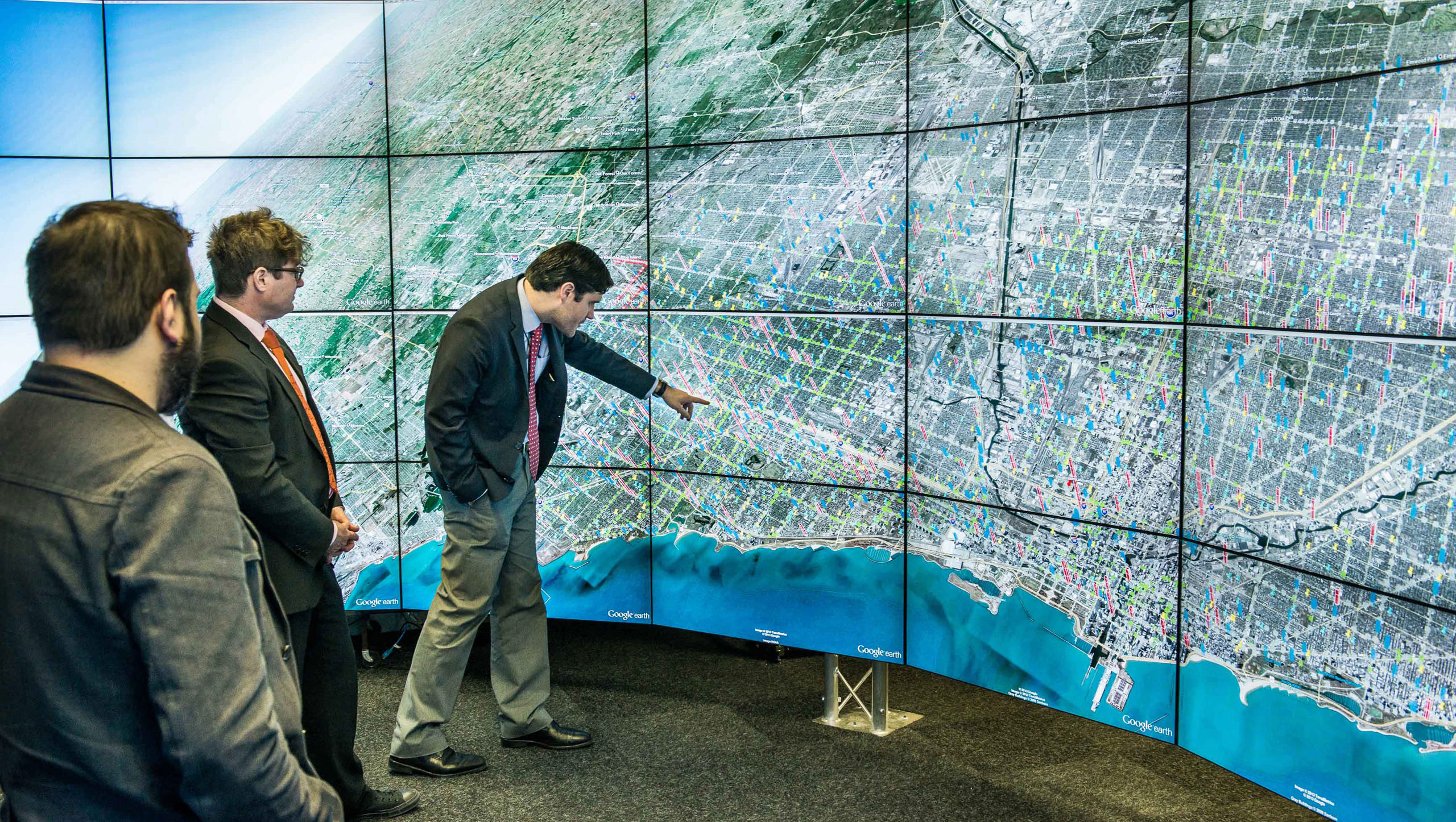
PHOTO: This is an example of ways EVL could contribute to CityWorks. Several years ago, EVL did a feasibility project with the City of Chicago to look at crime data overlaid on a Google Earth map of Chicago and displayed it in its CAVE2™ environment. City officials had been viewing maps on laptops or single displays, but the size and resolution of the CAVE2 enabled them to see relationships among several Chicago neighborhoods, not previously possible.