
TransitTrace: Route Planning using Ambient Displays
November 3rd, 2015
Categories: Applications, Visual Informatics
Authors
De Marchi, M., Eriksson, J., Forbes, A. G.About
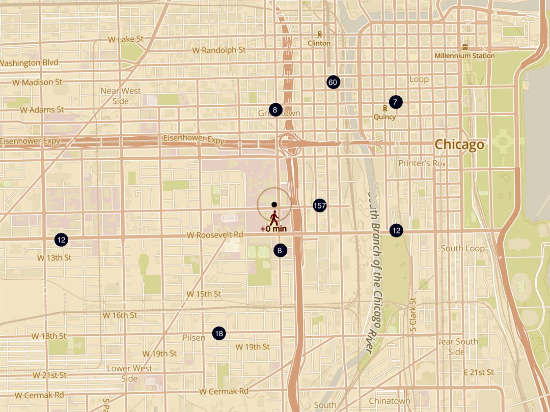
Every day, travelers use Public Transport Systems to reach their destinations. Public Transport Authorities generally use passive way-finding devices, including ambient displays, to provide useful information for travelers, such as the number of vehicles in the vicinity of a stop and their estimated times of arrival. However, due to both the complexity of the transport networks and the lack of sophistication in the design of these displays, the information provided by these devices is limited. We present TransitTrace, a visualization that exploits interaction-free ambient displays to provide travelers with more detailed information and ultimately to help them to navigate the city using a Public Transport System. Specifically, the proposed design makes use of a novel animation strategy to aid travelers in route planning tasks. In this paper, we describe details about the system and visualization design of TransitTrace, as well as its initial implementation using transportation data provided by the City of Chicago.
Categories and Subject Descriptors
H.2.8 [Database Applications]: Spatial databases and GIS; H.5.1 [Multimedia Information Systems]: Animations
Keywords
Public Transport Systems, Geotemporal Visualization, Ambient Displays
Resources
Citation
De Marchi, M., Eriksson, J., Forbes, A. G., TransitTrace: Route Planning using Ambient Displays, In Proceedings of the ACM International Conference on Advances in Geographic Information Systems (SIGSPATIAL), Seattle, WA, November 3rd, 2015.