Dave's Gallery - Remote Sensing Images
A collection of images generated from remotely sensed data, ranging
from local to global scale.
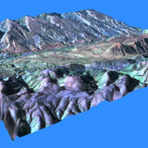
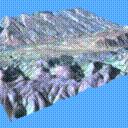 Camargo Syncline
The Camargo Syncline in central Bolivia. The topographic data for
this image was generated by a stereo-matching algorithm developed
by Jim Strong (NASA/GSFC Code 932), originally for the Goodyear MPP,
then ported to the MasPar MP-1. The algorithm used two Landsat images
of the area, which were taken from slightly different angles; it
then found matching points in the two images and computed their
elevation from the difference in their positions.
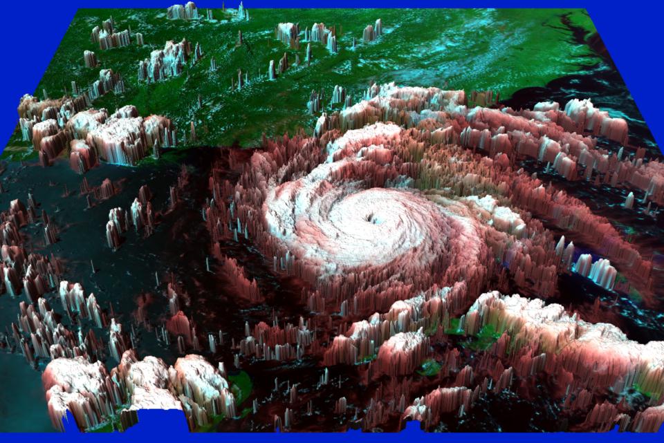
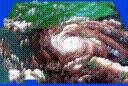 Hurricane Andrew
A 3D view of Hurricane Andrew as it was passing over Florida. It
was created using AVHRR images. One infrared image was used for
the cloud height data (the higher a cloud is, the colder it is).
Visible and infra-red bands were combined to produce a more-or-less
realistic coloring. The AVHRR data was provided by Fritz Hasler
(NASA/GSFC Code 912).
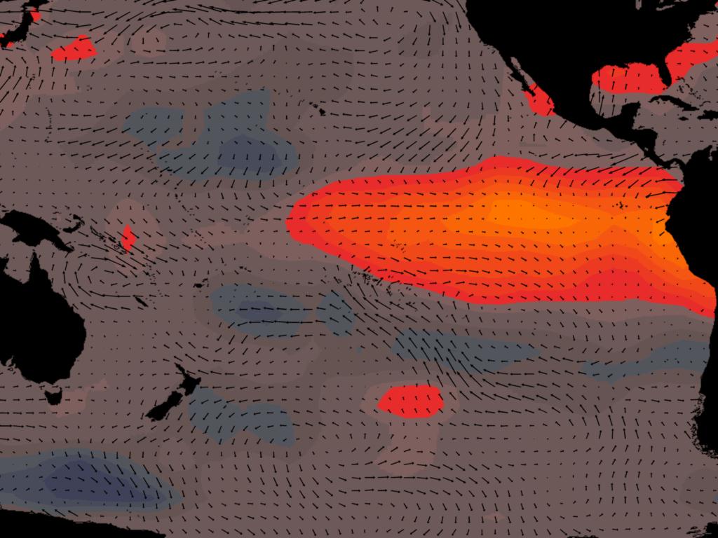
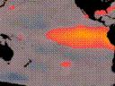 El Nino
Temperature and wind anomalies in the Pacific Ocean during the December
1982 El Nino.
Color represents the sea surface temperature anomalies - blue is cooler
than normal, orange to yellow is warmer than normal. The vectors represent
the difference between the normal wind stress and that during the El Nino.
This image was produced for a poster in a series created by students
at the Corcoran School of Art under Sara Tweedie; the posters were for
an educational program funded by the Earth Observing System project.
The data was provided by Paul Schopf (NASA/GSFC Code 971).
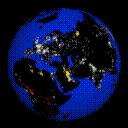 The World at Night
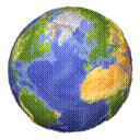 "Home" Earth
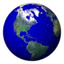 Pathfinder globe
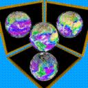 "EarthBalls"
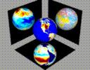 Another "EarthBalls"
 Snow Depth
Last modified 27 October 1994.
Dave Pape, pape@evl.uic.edu
 Camargo Syncline
 Hurricane Andrew
 El Nino
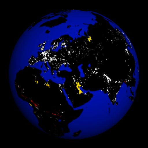 The World at Night
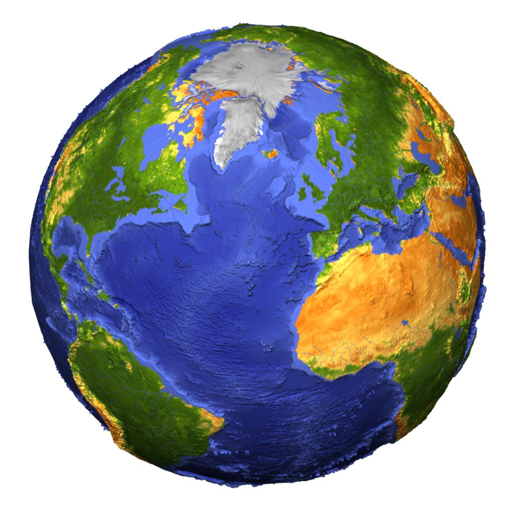 "Home" Earth
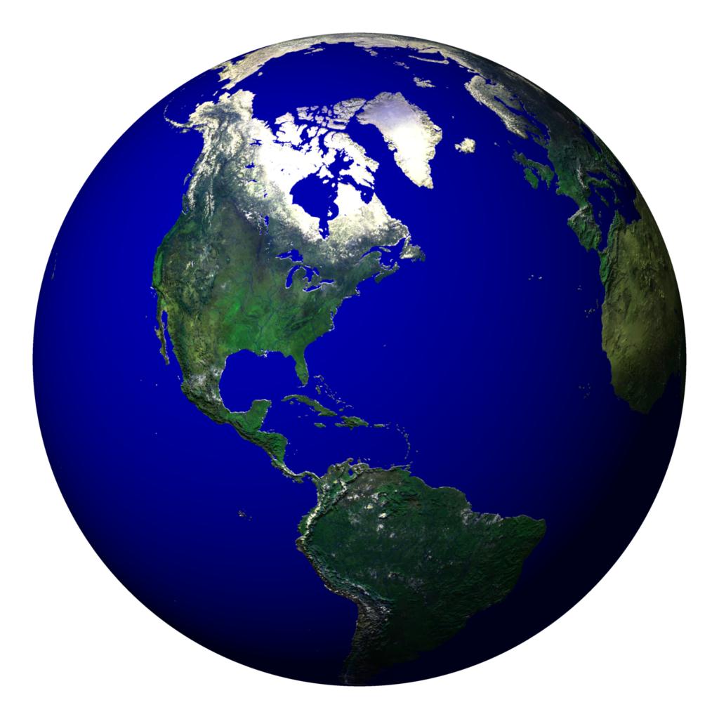 Pathfinder globe
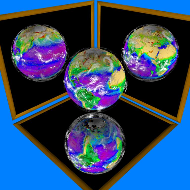 "EarthBalls"
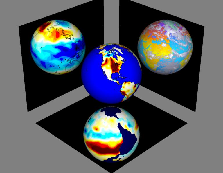 Another "EarthBalls"
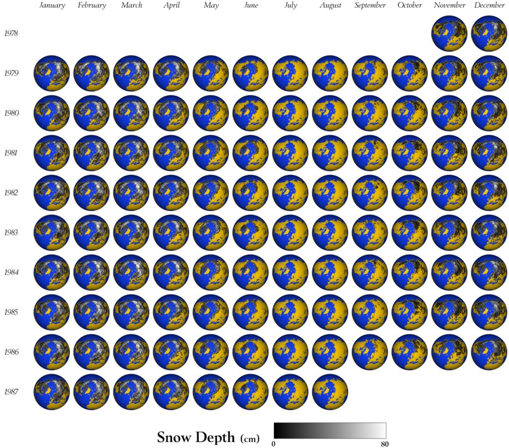 Snow Depth