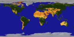
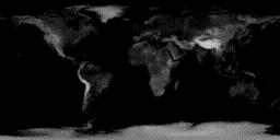
 Earth.EOSVid
... 512x256 (18k)
... 1024x512 (54k)
Earth.EOSVid
... 512x256 (18k)
... 1024x512 (54k)
This page is a collection of map images of the Earth, created from several different data sources. Some of the images are interesting in themselves, others are useful for compositing with other maps, as masks or overlays. All of the images are in a cylindrical (latitude/longitude) projection.
Note: All of the images on this page were created by Dave Pape, while a federal employee at NASA/GSFC. They are therefore copyright-free. See the official NASA guidelines if you want more detailed legalese. You're free to use them however you wish, but if you publish anything significant using them (websites, videos, articles, etc), I'd enjoy hearing about it.
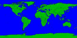
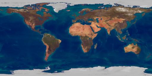
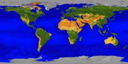 "BigEarth"
... 512x256 (21k)
... 1024x512 (67k)
... 2048x1024 (247k)
"BigEarth"
... 512x256 (21k)
... 1024x512 (67k)
... 2048x1024 (247k)
Earth.EOSVid
... 512x256 (18k)
... 1024x512 (54k)
 NDVI_84 data
... 512x256 (16k)
... 1024x512 (54k)
NDVI_84 data
... 512x256 (16k)
... 1024x512 (54k)
 NDVI_84 colored
... 512x256 (17k)
... 1024x512 (55k)
NDVI_84 colored
... 512x256 (17k)
... 1024x512 (55k)
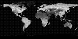
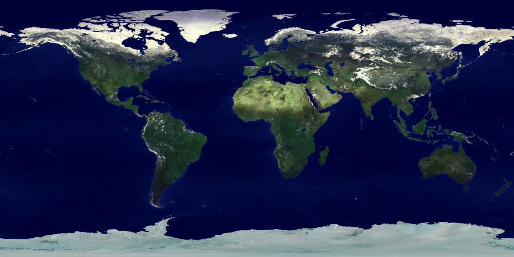
 AVHRR Pathfinder
... 512x256 (18k)
... 1024x512 (57k)
... 2048x1024 (192k)
... 4096x2048 (657k)
AVHRR Pathfinder
... 512x256 (18k)
... 1024x512 (57k)
... 2048x1024 (192k)
... 4096x2048 (657k)
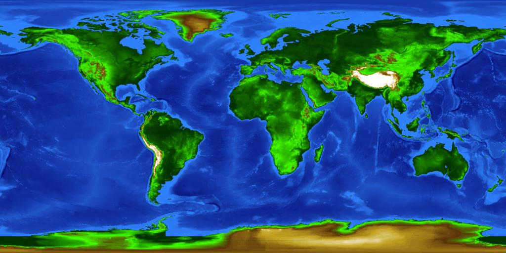
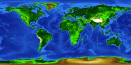 Topography
... 512x256 (25k)
... 1024x512 (78k)
... 2048x1024 (243k)
... 4096x2048 (738k)
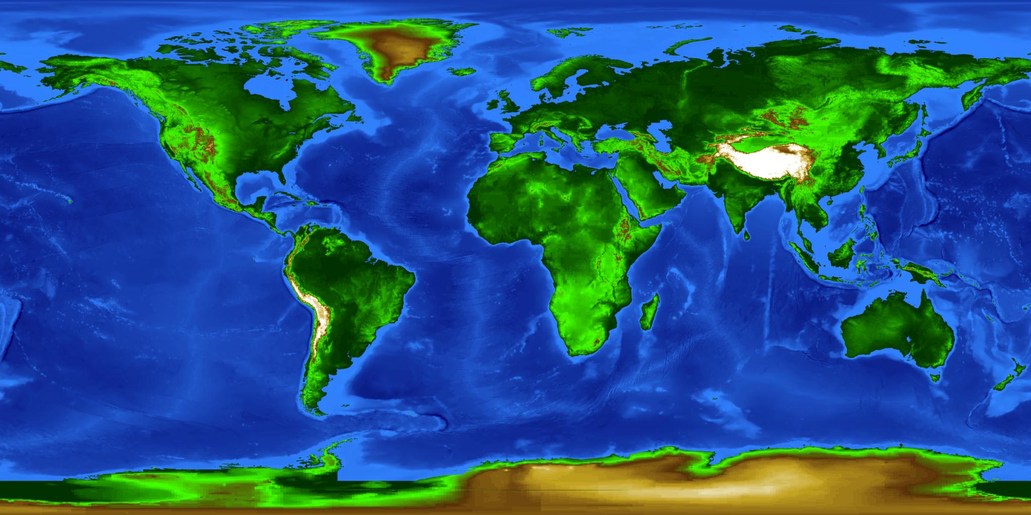
Topography
... 512x256 (25k)
... 1024x512 (78k)
... 2048x1024 (243k)
... 4096x2048 (738k)
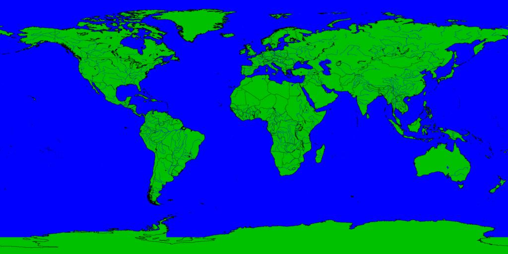
 Mapper WDB
... 512x256 (18k)
... 1024x512 (58k)
... 2048x1024 (218k)
Mapper WDB
... 512x256 (18k)
... 1024x512 (58k)
... 2048x1024 (218k)
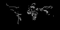 WDB borders
... 512x256 (4k)
... 1024x512 (12k)
... 2048x1024 (26k)
WDB borders
... 512x256 (4k)
... 1024x512 (12k)
... 2048x1024 (26k)
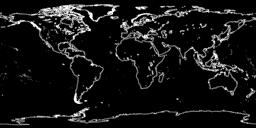 WDB coastlines
... 512x256 (13k)
... 1024x512 (35k)
... 2048x1024 (31k)
WDB coastlines
... 512x256 (13k)
... 1024x512 (35k)
... 2048x1024 (31k)
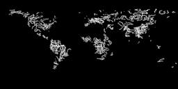 WDB rivers
... 512x256 (8k)
... 1024x512 (22k)
... 2048x1024 (49k)
... 4096x2048 (50k)
WDB rivers
... 512x256 (8k)
... 1024x512 (22k)
... 2048x1024 (49k)
... 4096x2048 (50k)
 etopo-land
... 512x256 (12k)
... 1024x512 (40k)
... 2048x1024 (131k)
... 4096x2048 (428k)
etopo-land
... 512x256 (12k)
... 1024x512 (40k)
... 2048x1024 (131k)
... 4096x2048 (428k)
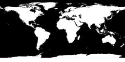 etopo-landmask
... 512x256 (10k)
... 1024x512 (25k)
... 2048x1024 (65k)
... 4096x2048 (161k)
etopo-landmask
... 512x256 (10k)
... 1024x512 (25k)
... 2048x1024 (65k)
... 4096x2048 (161k)