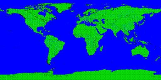
This image was generated using the CIA World Data Bank II database of coastlines, rivers, and national borders (the borders are a few years out of date). As this is all line data, the rivers and borders may appear a bit fuzzy, especially if the texture map resolution is low.