
Navigating the Geospatial Frontier: Future Directions for Academia and its Partners
June 23rd, 2025 - June 27th, 2025
Categories: Applications, Software, Tele-Collaboration, Remote Collaboration, Human Computer Interaction (HCI), Cybersecurity, Data Science, Artificial Intelligence
About
University Consortium for Geographic Information Science
30th Anniversary Symposium and Commemorative Celebration
Navigating the Geospatial Frontier: Future Directions for Academia and its Partners
June 23-27, 2025 | University of Wyoming | Laramie, WY
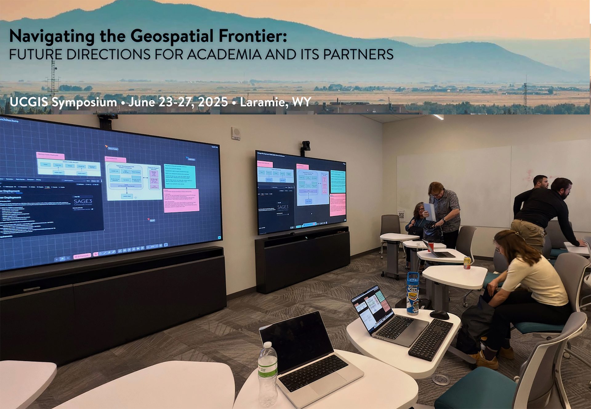
Ryan Theriot (UH/LAVA) and Luc Renambot (UIC/EVL) held a workshop at UCGIS 2025 called “Getting Started with SAGE3: A Collaborative Research and Visualization Platform”
SAGE3 (Smart Amplified Group Environment) is an open-source, NSF-funded platform designed to support collaborative research, data visualization, and remote team engagement. Built on decades of research in scalable display environments, SAGE3 enables users to share, analyze, and present complex data in real time across multiple devices, from high-resolution display walls to personal laptops. Its capabilities make it particularly useful for GIS teams working on disaster response, land use planning, environmental monitoring, and other geospatial projects where collaboration and large-scale visualization are essential.
This workshop will introduce participants to SAGE3 and demonstrate how it enhances research collaboration, facilitates interactive meetings, and organizes complex data. Attendees will learn how to set up and navigate the platform, integrate data sources, and utilize its tools to streamline group discussions and decision-making.
Whether new to SAGE3 or looking to incorporate it into your workflow, this hands-on session will provide the foundational knowledge needed to use the platform effectively. For more information, visit: https://sage3.sagecommons.org/.