
Prelim Announcement: “Supporting Multi-Stakeholder Collaboration in Urban Data Analysis”
May 12th, 2025
Categories: Applications, Data Mining, MS / PhD Thesis, Software, Visualization, Visual Analytics, Human Computer Interaction (HCI), Data Science, Artificial Intelligence, Urban Data Visualization
About
Candidate: Gustavo Moreira
Committee: Fabio Miranda (Chair and Advisor), UIC
G. Elisabeta Marai, UIC
Michael Papka, UIC
Remco Chang, Tufts University
Ross Maciejewski, Arizona State University
Date/Time: 1pm CT, May 12, 2025< br>
Location: UIC ERF 2068 (Continuum)
Zoom details:
https://uic.zoom.us/j/5980237609?pwd=b2p3SlZMekR5Vjlidllnb1F6Qm5XUT09
Abstract:
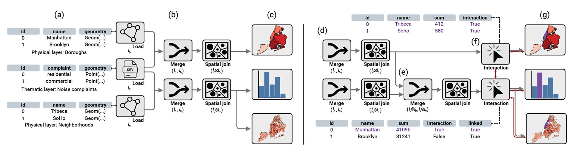
Urban environments generate a large amount of complex and heterogeneous data, which creates opportunities for all kinds of data analysis across domains such as accessibility, climate, real estate, and infrastructure. Interested in these analyses are a diverse range of stakeholders each bringing distinct expertise, analytical workflows, and priorities. However, among many others, urban planners, architects, environmental scientists, and public health experts employ different workflows while participating in a highly collaborative analytical setting. This reality results in gaps in contribution and communication, impacting the ability of such stakeholders to work together and the inclusion of important opinions and insights. Trying to solve some of those challenges, many urban analytics tools have been developed over the years. They offer powerful means to explore the complexity of data while accounting for the iterative nature of the process. However, these tools are often tailored to particular domains and are the product of disjointed collaborations between visualization and domain experts. That being said, the complexity of urban phenomena, combined with the fragmented nature of current urban visual analytics systems, limits the ability of researchers and practitioners to construct reproducible and adaptable workflows. Existing tools often require specialized technical expertise, treat domain experts primarily as end users, and lack mechanisms for integrating workflows across design, implementation, and evaluation.
Aiming to tackle the complexity of urban data and the collaborative nature of urban analytics, while remedying for current gaps in urban visual analytics tools, this dissertation will propose an ecosystem of tools and theoretical frameworks that try to answer the following question: “how to support accessible, flexible, extensible, reproducible, and scalable tools across domains and users?”. Across this ecosystem of tools, there is a common thread of a meta approach. Meaning that the tools proposed enable a large spectrum of users to build urban visual analytics systems at different levels of expertise. This dissertation will present three solutions developed iteratively and a fourth ongoing work. They are a product of close cooperation with experts and practitioners who supported the evaluation through a series of real-life case studies. First, the Urban Toolkit (UTK) introduces a flexible grammar-powered visualization framework for urban data integration, showcasing an example library with public datasets from: Chicago Data Portal, OpenStreetMap, NYC Open Data, and Analyze Boston. Curio builds on UTK to add a collaborative, dataflow-driven approach, presenting three usage scenarios with public datasets from OpenStreetMap and Google Street View. Then, Urbanite extends the previous tools to propose a framework for human-AI collaboration, fostering alignment for a declarative construction of urban VA systems. Three usage scenarios are presented using public datasets from: OpenStreetMap, OpenTopography, Project Sidewalk, and Urban Pulse's paper. Finally, I present ongoing research that investigates challenges and opportunities in translating a domain problem into a VA system in an AI-assisted environment. The three tools bridge the gap between stakeholders by increasing accessibility to urban data analysis while making sure that solutions are extensible and scalable enough to be reused in different contexts, thus supporting an already existing diverse set of urban visual analytics workflows.