
MC3 - A Web-Based Interactive Image Explorer for Temporal Analysis of Satellite Images
October 1st, 2017
Categories: Applications, Visual Analytics, Visual Informatics
Authors
Mahida, V., Kupiec, B., Burks, A., Luciani, T., Marai, G.E.About
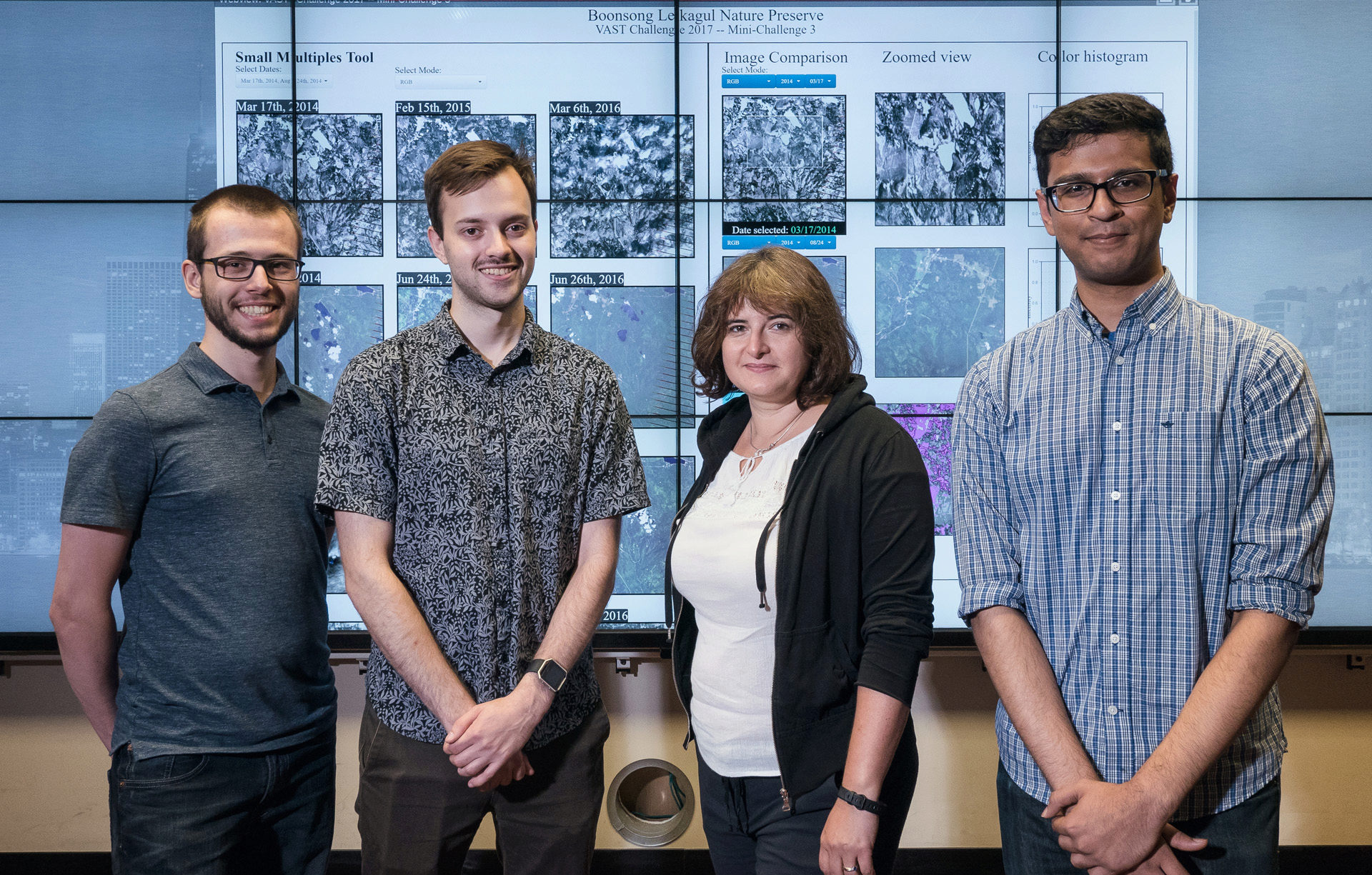
Our web-based image analysis tool for the VAST 2017 Mini-Challenge 3 combines small multiple views of satellite images, linked semantic zooming and image intensity histograms, along with filter controls. The resulting tool allow users to interactively analyze spatio-temporal changes in the preserve area.
Resources
Citation
Mahida, V., Kupiec, B., Burks, A., Luciani, T., Marai, G.E., MC3 - A Web-Based Interactive Image Explorer for Temporal Analysis of Satellite Images, IEEE Visual Analytics Science and Technology (VAST) Challenge 2017 Proceedings, Phoenix, AZ, pp. 1-2, October 1st, 2017.