
Walkabout
January 1st, 1995 - December 16th, 2002
Categories: Applications, Education, Tele-Immersion, Visualization
About
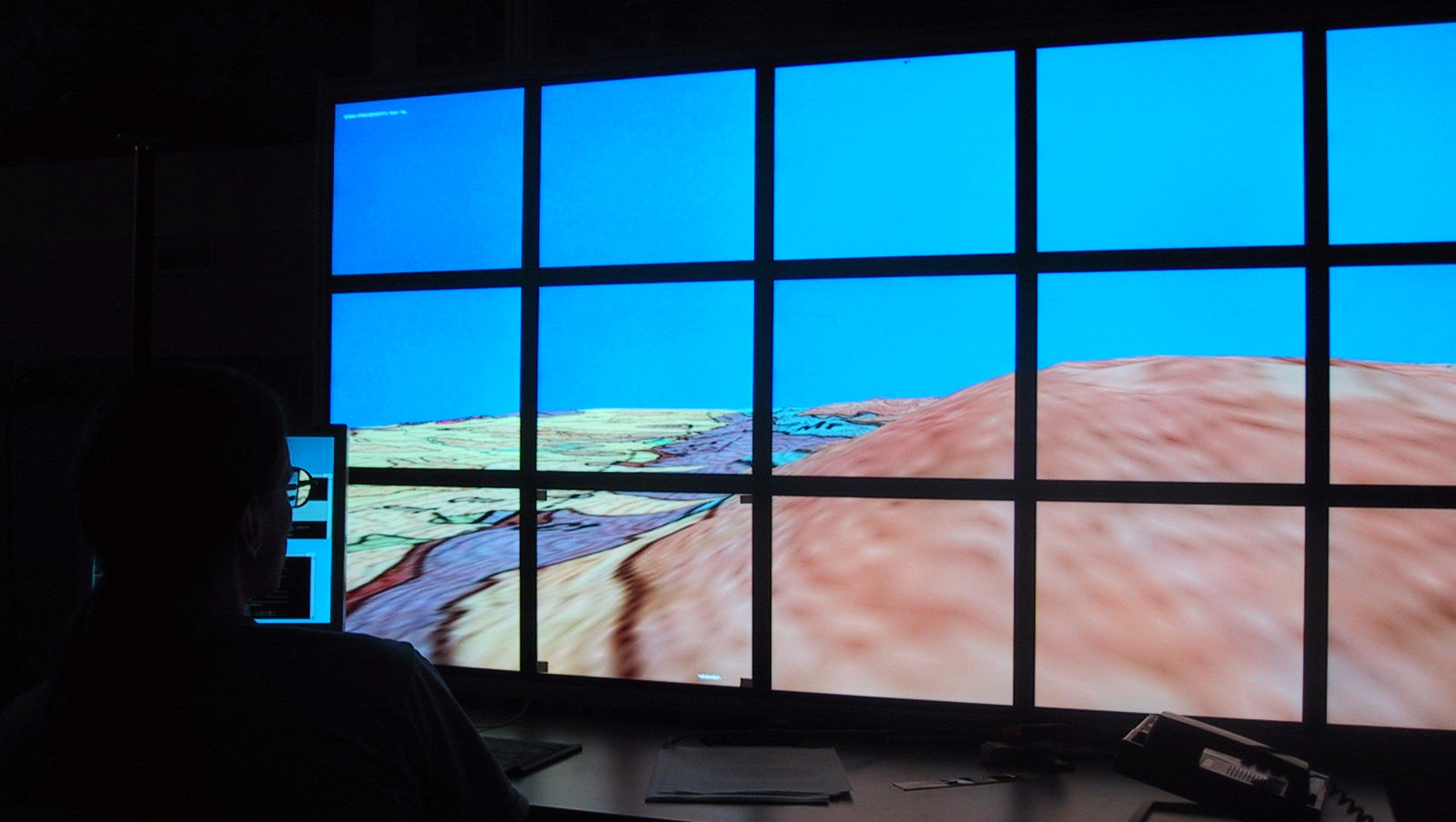
Walkabout is an application that allows users to explore geo-referenced terrains. It is an educational application for elementary school kids to explore and collect data from virtual environments to learn about the scientific method. Participants explore the scene by walking through landscapes “draped” with textures. While walking on the environment’s surface, flags can be dropped to mark locations of interest, or a set of pre-programmed flags may be loaded to appear on the surface when Walkabout is launched, providing participants with a self-guided tour. Flying is an alternative means of navigating through the environment; the entire terrain can be viewed from above as a flattened map. Multiple users can run Walkabout simultaneously on different computers, viewing each other as avatars in the environment. The application keeps track of the each user’s journey through the environment, which can either be hidden or kept visible for others to follow.
Originally written in 1995 as an Inventor CAVE® program to simply investigate moving around scenes with dynamic objects (floating panels, elevators, escalators, etc.), Walkabout was then rewritten using Performer, which proved a much “friendlier” and easy programming environment. Now with more inexpensive stereoscopic projection displays available, OpenInventor’s cross-platform capabilities and the features provided by Coin3D, Walkabout has yet again been refined and enhanced to run on a host of advance visualization display devices to service a broader audience.
Funding to support this project has been provided by the NSF division of Experimental and Integrative Activities and division of Earth Sciences.