
3D City Reconstruction From Google Street View
January 1st, 2016
Categories: Applications, VR, Video Games, Augmented Reality
Authors
Cavallo, M.About
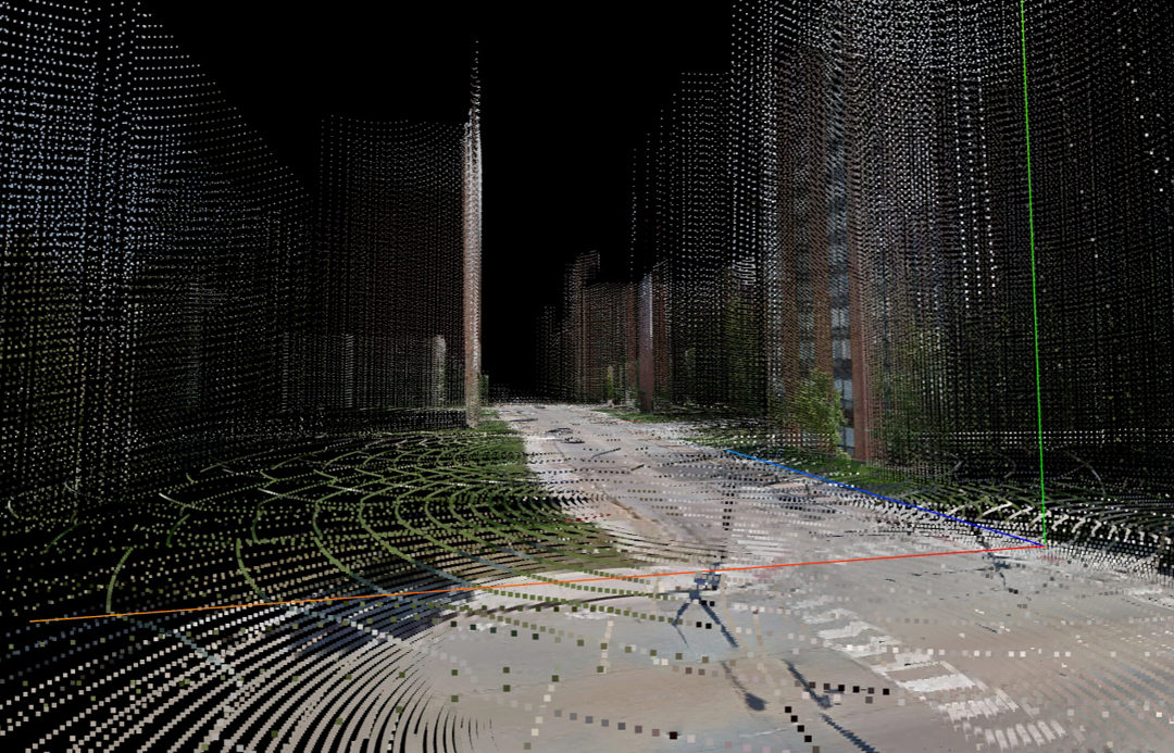
Despite laser scan 3D point cloud acquisition has greatly improved over the next few years, the process of creating 3D large scale city models is still quite expensive and not straightforward. At the same time, nowadays services such as Google Street View provide a vast amount of geo-registered panoramic imagery, guaranteeing a decent resolution for dense locations at zero cost. Our idea is indeed to leverage this free information provided by Google Street View in order to obtain a cheap and automatizable 3D reconstruction of an urban area, by extracting the depth information related to the great number of panoramic images available online.
ACM Classification Keywords
H.5.m. Graphical user interfaces; Computer Graphics; Visualization
Author Keywords
Google Street View; Point Clouds; 3D reconstruction
Resources
Citation
Cavallo, M., 3D City Reconstruction From Google Street View, January 1st, 2016.