
Planetary-Scale Terrain Composition
February 29th, 2008
Categories: MS / PhD Thesis, Software, Visualization
About
Robert Kooima, EVL PhD candidate discusses planetary-scale terrain composition at his prelimimary dissertation examination / presentation. Terrain rendering in general has been a part of the culture of computer graphics for decades. It is a core element of gaming, film, and scientific visualization. Kooima talks about established approaches to the problem of real-time display of topographical data, as commonly used in these areas with focus on issues that these approaches fail to address.
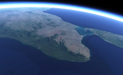
Huge quantities of data exist describing the Earth, the Moon, and other planets. Tera-pixels of height map and surface map data have been collected. This quantity of data continues to increase exponentially as more powerful sensors are put into service. While much of these data are related, little has been done to bring disparate data together into a common visualization. Kooima presents a GPU-centric solution to this problem that allows separate, but related, planetary-scale data sets to be flexibly composed in powerful ways. Existing and forthcoming data sets, how their consumers need to use them, and how their goals may be accomplished with a novel utilization of modern real-time graphics hardware are covered.