
Midwest Comprehensive Visualization Dashboards: A New Environmental Justice Tool for Chicago Communities
January 10th, 2021 - Ongoing
Categories: Applications, User Groups, Visualization, Visual Analytics, Visual Informatics, Data Science, Urban Data Visualization
About
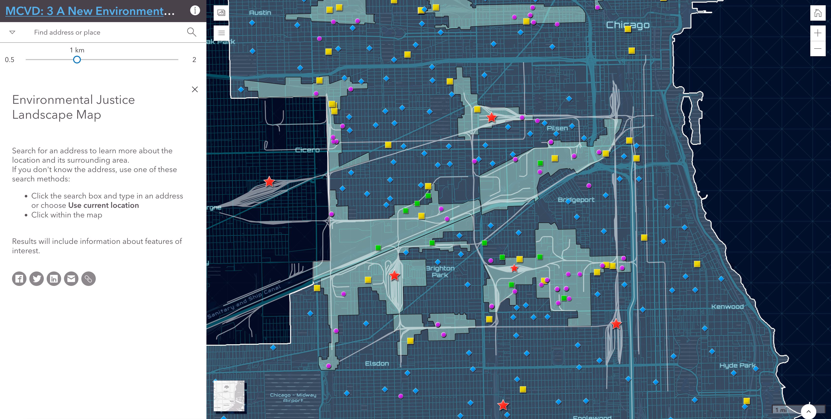
The UIC School of Public Health (UIC-SPH) Emergency Management and Resiliency Planning (EMRP) program, in collaboration with the Electronic Visualization Laboratory (EVL) and content experts, is presenting a series of Midwest Comprehensive Visualization Dashboard(s) (MCVD) focusing on environmental health and justice issues in this region. A MCVD has two components: the visualization interface(s), i.e., link to interactive maps, and the end-user documentation (i.e., background information, data sources, methodology, findings, etc.).
Link to the interactive map on the MCVD dashboard.
MCVD has been created by Joel Flax-Hatch, Michael D. Cailas (School of Public Health), Fabio Miranda (EVL), and Apostolis Sambanis (Division of Environmental and Occupational Health Sciences - EOHS)) with the participation of Michael Siciliano (College of Urban Planning and Public Affairs), Sybil Derrible (Civil, Materials, and Environmental Engineering), Yuan Shao (EOHS), and Greg Arling (Purdue University).
Read the press release outlining this research project.